Rio Grande Natural Area
The Rio Grande Natural Area Act was passed on October 12th, 2006. The Rio Grande Natural Area (RGNA) was established in order to conserve, restore, and protect natural, historic, cultural, scientific, scenic, wildlife, and recreational resources of the natural area.
Rio Grande Natural Area ActBoundaries
The boundaries of the RGNA include the Rio Grande, from the southern boundary of the Alamosa National Wildlife Refuge to the New Mexico State border extending one quarter of a mile on either side of the river bank.
Boundaries Map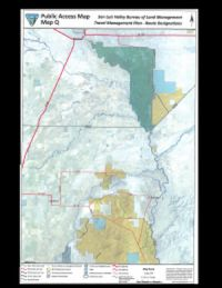
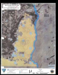
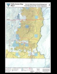
Click on the maps to enlarge
Rio Grande Natural Area Commission and Management Plan
The Rio Grande Natural Area Commission was comprised of nine members appointed by the Secretary of the Interior. The Commission was tasked with completing a voluntary management plan for private lands in the Natural Area. The Commission completed the management plan for the private lands within the Rio Grande Natural Area in 2015.
The plan can be viewed here.